Mount Haystack
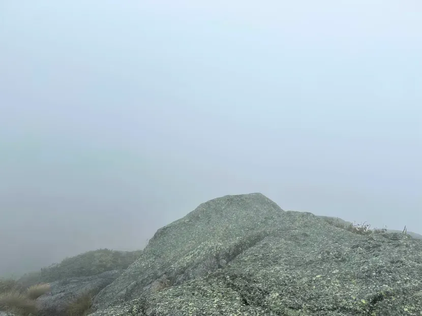
Two weekends ago, we finished what is likely our last backpacking trip of the season, Mount Haystack. This is actually our second attempt to summit Haystack. The first time (maybe seven years ago) we mistook it for Haystack Mountain. By the time we corrected the mistake it was too late to tackle the larger of the two!
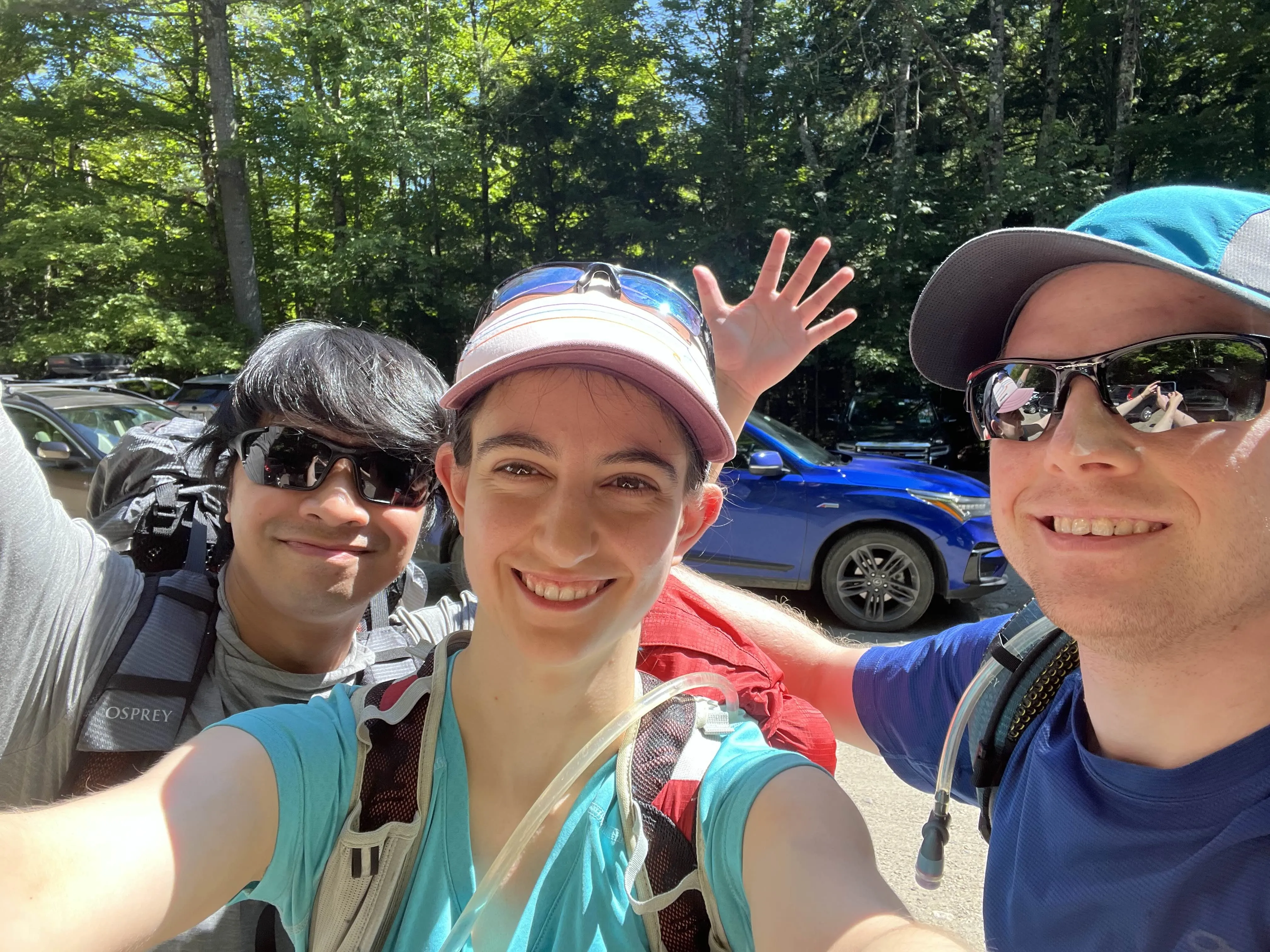
This was our fourth total backpacking trip (we have done plenty of day hikes, but we are still new to overnights), and it was also Steve’s first time — a friend of ours who has also done plenty of hiking, but was breaking out into the world of backpacking. So, unfortunately, that made us the experts on this trip.
Since it was Steve’s first experience, we planned to tackle just Haystack — it can commonly be climbed with Saddleback and Basin as well (if some extra time allowed, Gabby and I might have tried to grab Basin).
The “Best”-Laid Plan
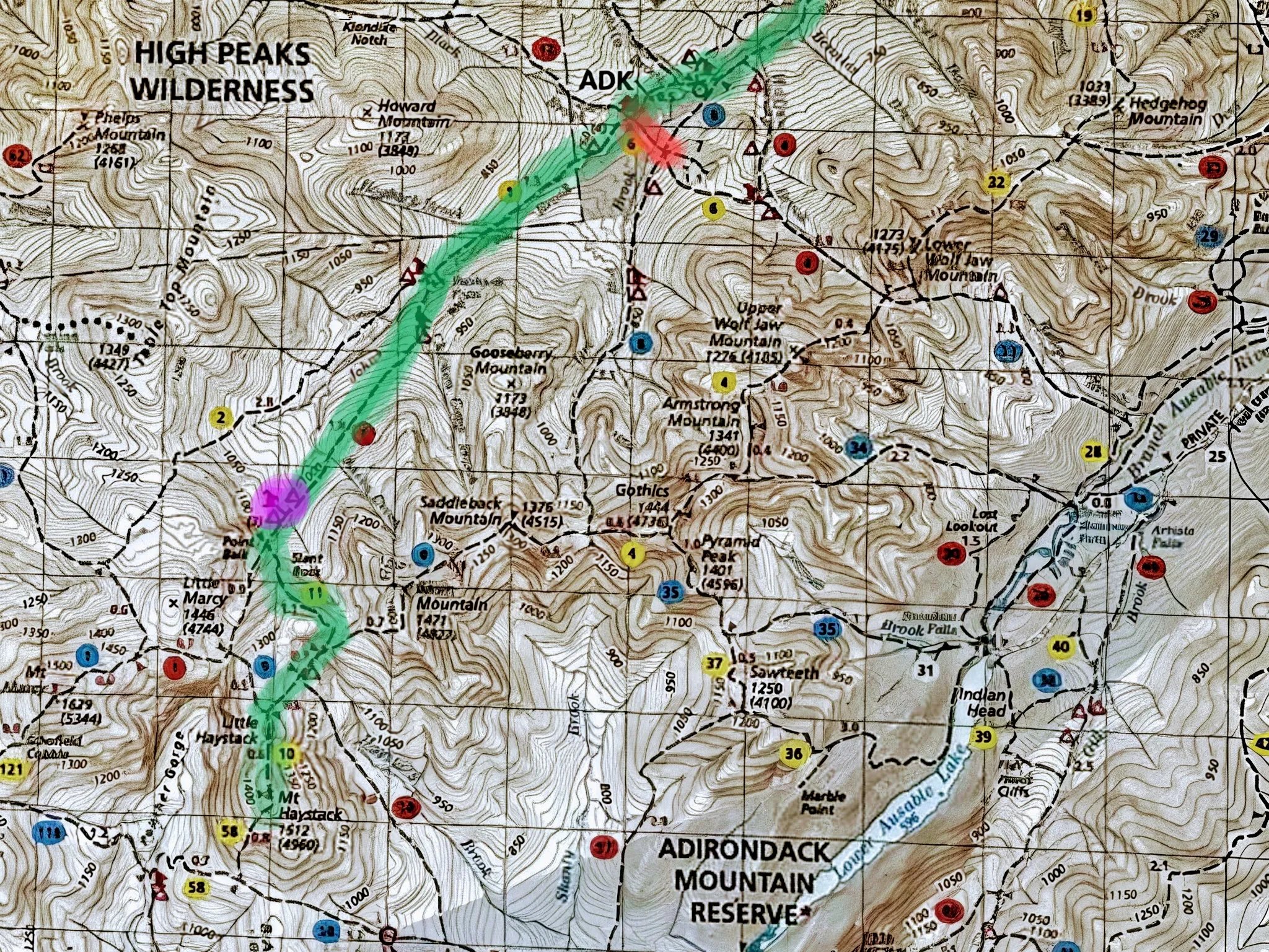
The closest parking lot for Mount Haystack (:eyeroll:) is the Garden Trailhead which has been so busy, there’s a shuttle from Marcy Field about two miles away, if you can’t find parking. Unfortunately, the shuttle only runs on weekends.
With that in mind, we would leave Thursday morning, with our backup plan being one brave volunteer would park at the Rooster Comb Parking Area and hike the extra 1.6 miles after dropping off the rest of the crew.
Once in the woods, with a good pace, we would hopefully make it to Sno-bird Camp Site, which is pretty special. In the Adirondacks, you may only camp above 3500 feet of elevation at designed camp sites, and Sno-bird is at 4000. It’s the highest designed camp site in the park, and certainly would love a memerable experience.
If we’re lucky, we would even summit Haystack (which, on the map, looks so close to Sno-bird) and potentially leave Basin, a neighboring 46er, for the next day.
Either way, we only plan to be in the woods one night (but that wouldn’t be the first time we’ve been wrong about that), and leave the next afternoon.
There are plenty of backup campsites along the route, namely Slant Rock, Bushnell Falls, and John Brook Lodge (JBL)‘s outskirts.
This trip ended up being on Labor Day Weekend — so finding both camp sites and parking felt like a huge challenge. To beat the crowds, we decided to leave Thursday morning (from our homes, about 4 hours away and “enter” the woods about midday) and exit Friday afternoon, rather than risk the weekend crowds.
Going Awry
Day 1
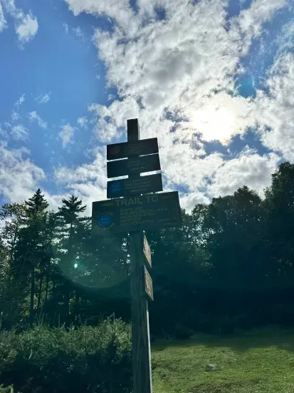
We left roughly on time, and made it to the half-empty (hurray!) Garden Trailhead around 2PM. We made great time (for us, we’re pretty slow) to JBL, and continued following the sign to “Haystack”, which turned sharply Southeast and crossed John’s Brook. Our plan was to stay North of the Brook and head Southwest.
After half an hour, we reached a junction that just didn’t make sense. With a little debugging (pulling out the compass and map, and finally realizing the Earth’s magnetic fields didn’t shift, and the compass wasn’t wrong) we realized we were heading away from Haystack. This was technically a way, but over Saddleback in a big loop to get to our destination. That was not part of the plan!
With backtracking, we may have lost 30-45 minutes. Oh well.
Soon, we were back at the JBL and headed towards Bushnell Falls (look for that sign, not Haystack!).
After a couple hours, we made it to Bushnell Falls’ camping area. The Falls itself were a steep ~200 foot climb down, but I read online that it was “an indescribable beauty” so we had to take the detour.
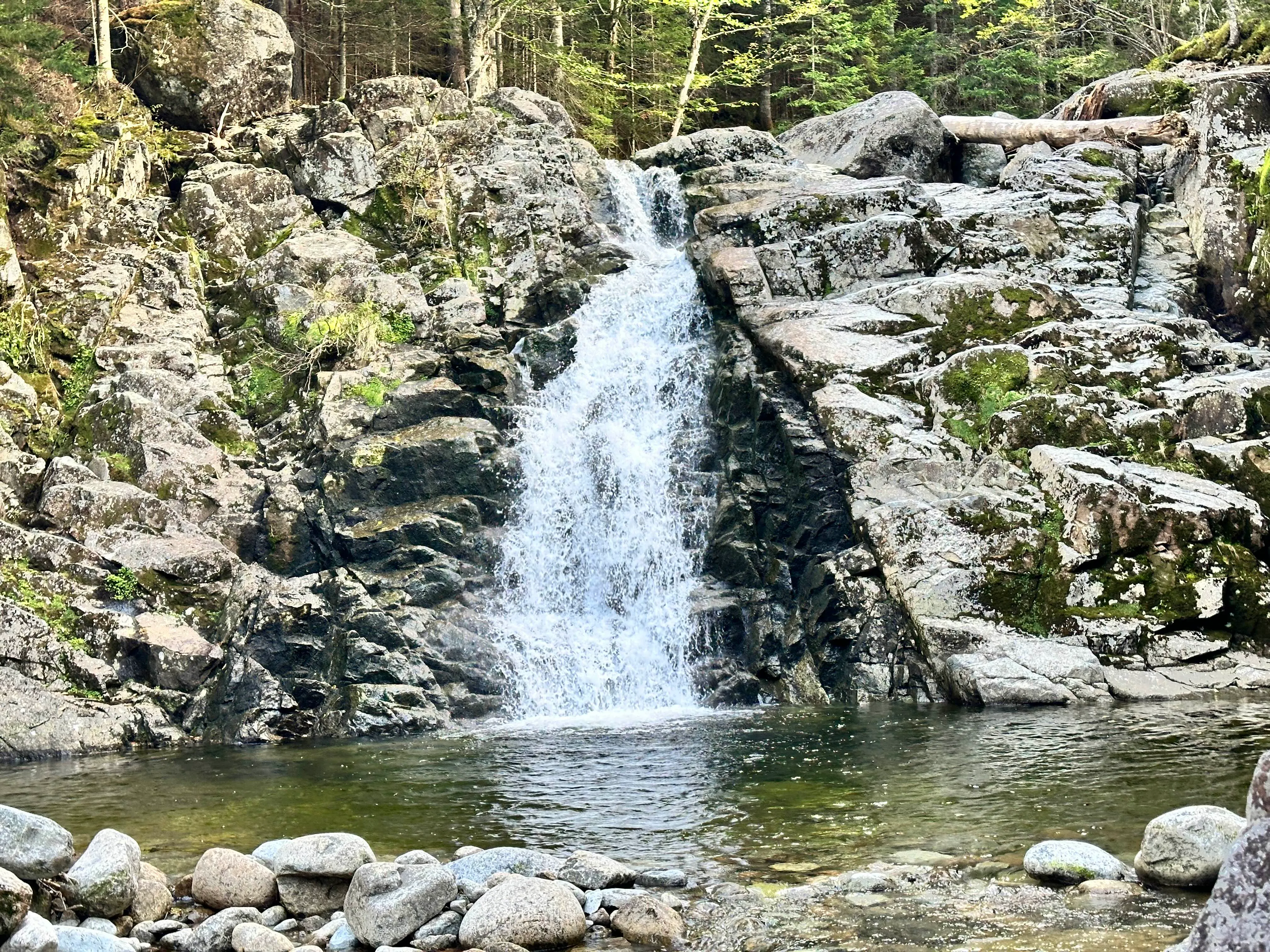
It was OK. Waterfalls are always pretty, but I wouldn’t say it was indescribable, especially after the steep climb back up. But, this was our first chance to sit and have a snack though, so we took it. We also filtered some water, and made our way back to the trail.
Somewhere just after Bushnell Falls, Steve took a bit of a tumble and hurt his knees. After debating whether we backtrack’d to Bushnell Falls’ lean-to or pushed forward to Slant Rock, we elected to push forward. It was a little slow going due to the injury, but we made it to an empty Slant Rock campsite around 6PM. It did not look like we were going to make it to Sno-bird before dark, so we decided to camp here.
We got camp setup just before dark, and made dinner with head lamps.
Exhausted, Gabby and I fell asleep pretty immediately. Surprisingly, we both slept well — like through the whole night well.
Day 2
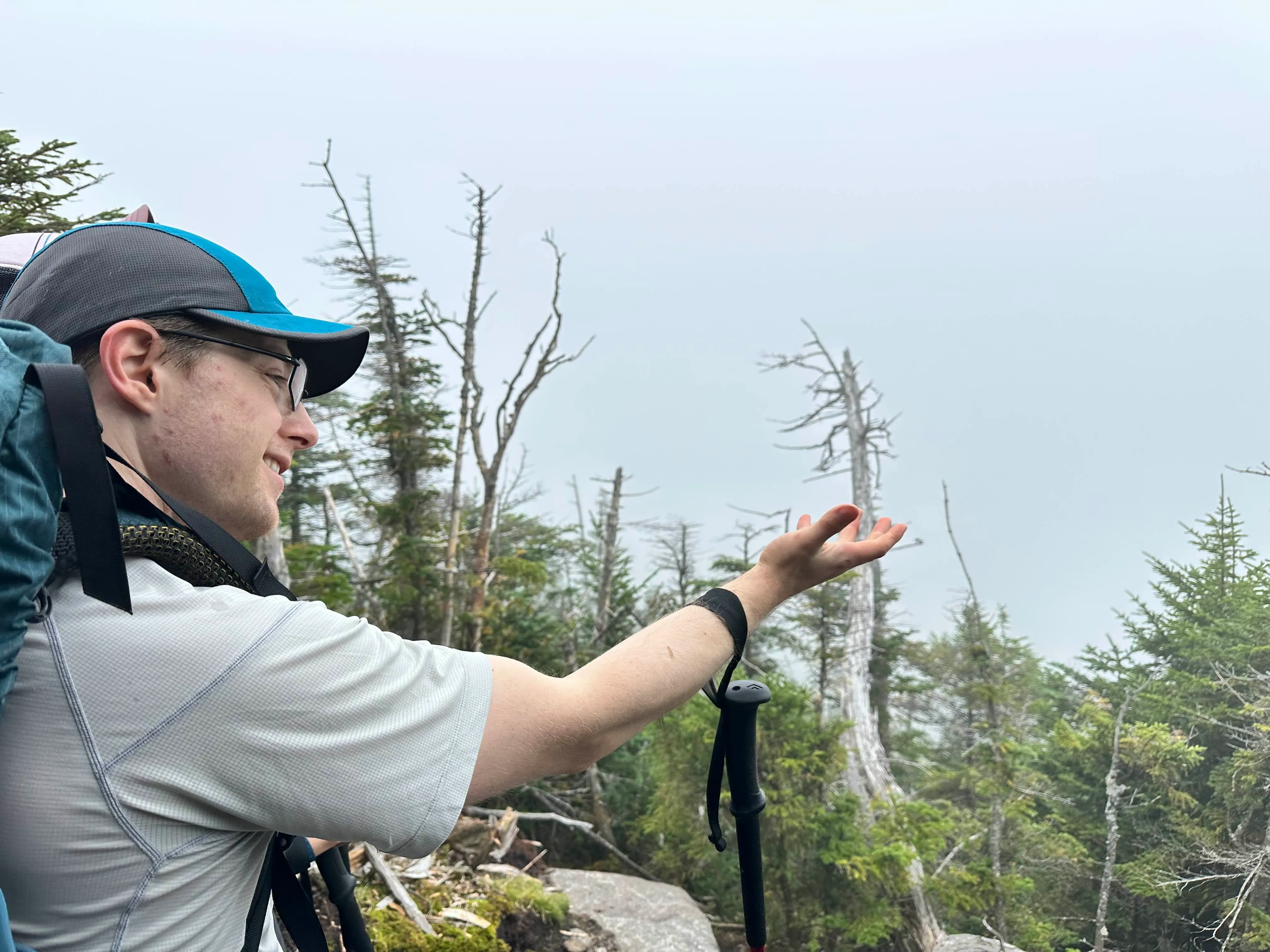
We woke the next morning to… nothingness. It was very foggy. Like 20 feet of visibility foggy. Hopefully it would clear up (spoiler: it didn’t).
The Way Up
As we were fitting three folks’ worth of food in our bear can that we usually max out with two people, we didn’t bring much for breakfast. With a granola bar and a dream, we left continuing on the trail towards Haystack.
A lot later than we expected (and could have ever done the day before), we made it to Sno-bird. It was neat to see, and definitely a place I want to camp eventually. But there was no water source, so keep that in mind if you plan to stay there. Gabby and Steve stayed on trail while I went to investigate, and my phone’s camera was busted so I didn’t get any shots of the site, which was a shame.
After another few hours, we made our way to the base of Little Haystack. It was a good amount of rock scrambling up. From here on out, we were above the tree line on bald summits. I bet it was beautiful
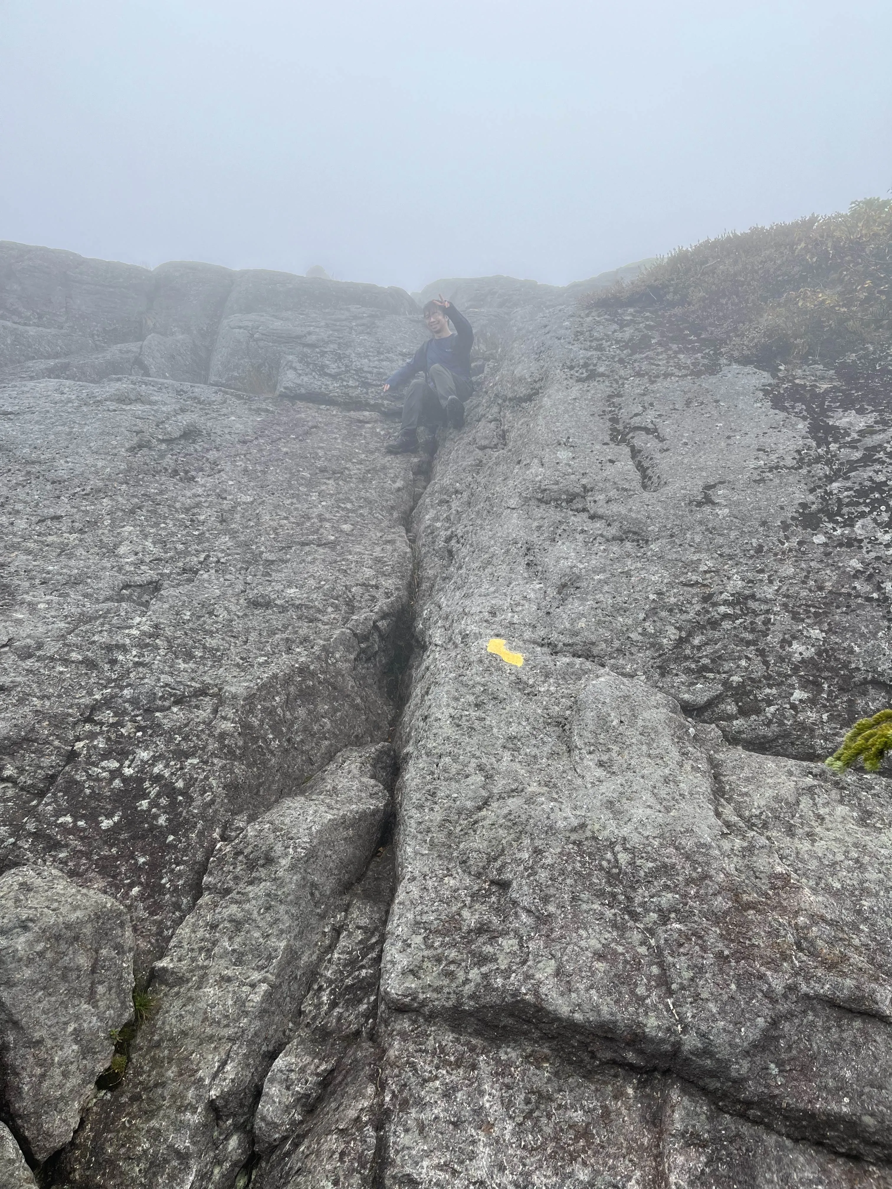
Time became fuzzy in the fog. I’m not sure how long we were there as it all melted together in the mists.
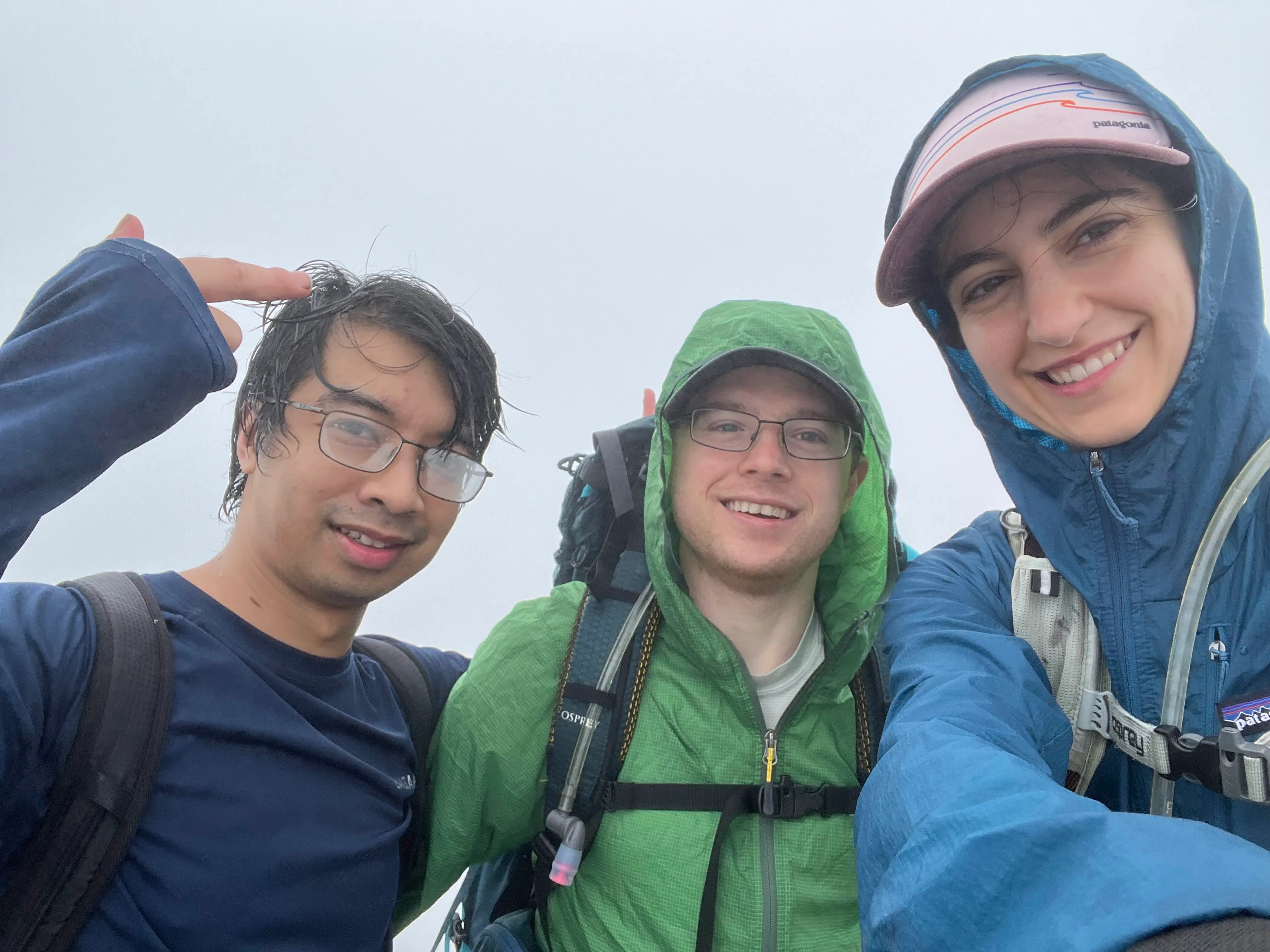
We eventually walked past the Summit. It wasn’t very clear if we could see something “bigger” in the distance and if we were still on Little Haystack or not. I really understand the whole CFIT thing now, and how dangerous flying in low visibility can be. Just walking it was easy enough to get turned around! We eventually found the summit, and took our victory photo:
The Way Down
The return trip was uneventful (and this post is already long). We did not stop at Bushnell Falls and fair the climb back up, opting instead to rush back to the car so we could get some real food. Plus, we were out of all of our snacks. Gabby can survive off of three nuts and a sour patch kid, but Steve and I needed a little more.
Our goal after every trip to the Adirondacks is to hit our favorite restaurant — but they close at 9PM and are an hour away from the parking lot. Until we made it back to the JBL, it felt like we were going to make it off by 7PM and that pushed things a little too close.
That fire pushed us to make it by 5.
The burger at the end of the trail
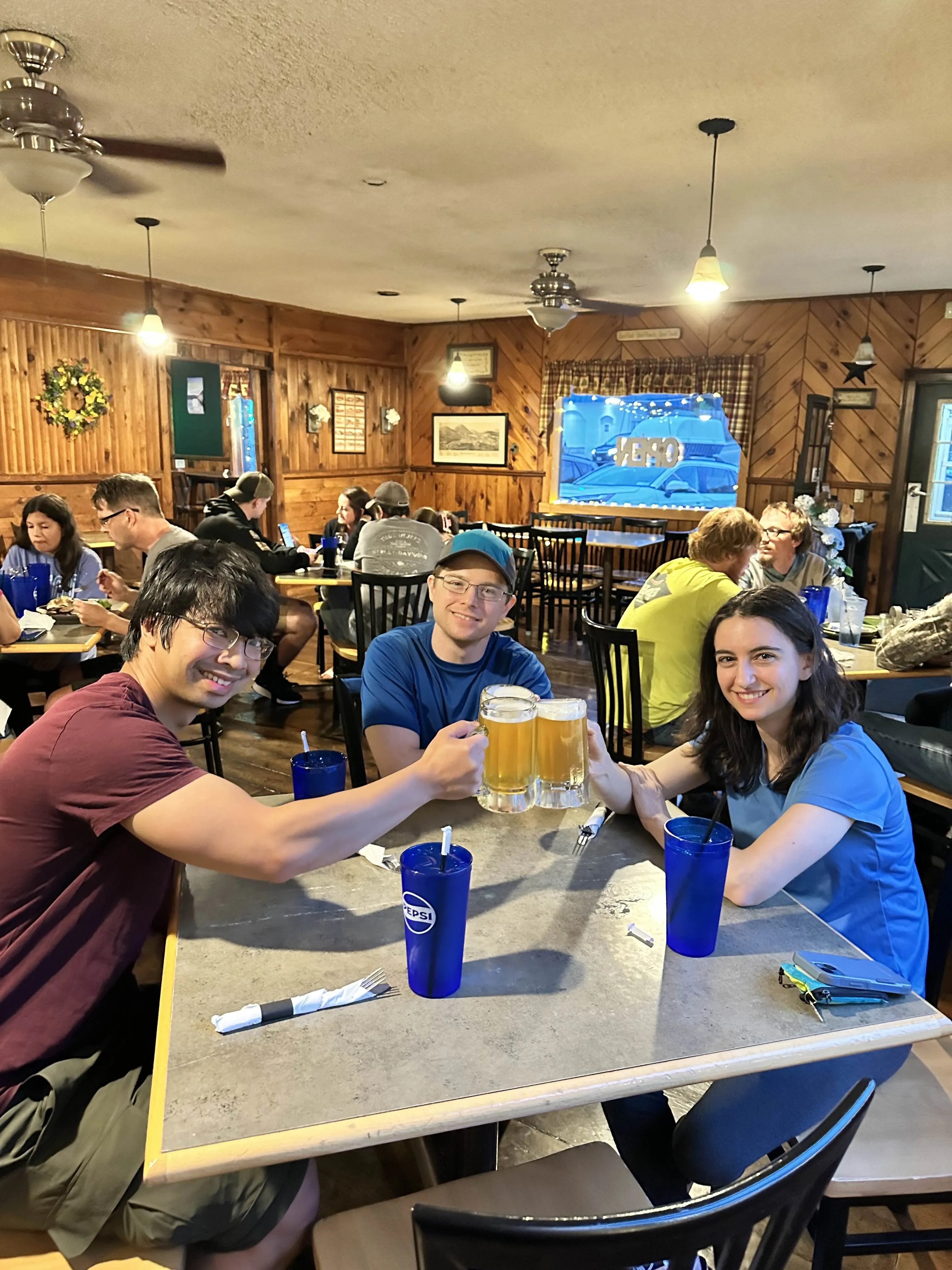
We made it to George Henry’s around 7PM, where we gorged ourselves on beer, wings, burgers, and chili. We love this place and (I’ll reiterate) we try to stop here every time we go up.
Surprisingly, being our fourth trip, Gabby and I found this a little easier than the others. Each time we learned some serious lessons on what technique or gear doesn’t work. This time, we felt pretty comfortable with what we had and what we planned, and wouldn’t change much. Maybe next time we’ll get hit twice as hard.
And Steve doesn’t hate us for this trip, so that’s a win.